[The Source Code] Mapping barriers in our rivers
Barriers in rivers can present huge problems for wildlife and water flow. Removal can be a complicated issue, and data collection plays an important role in addressing those which pose the biggest threats. Part of [The Source Code] series: regular tech and data insights from The Rivers Trust’s Heather Bell, celebrating the digital tools and teams powering environmental change. Sign up to our newsletter to get every piece delivered to your inbox.
17/11/25
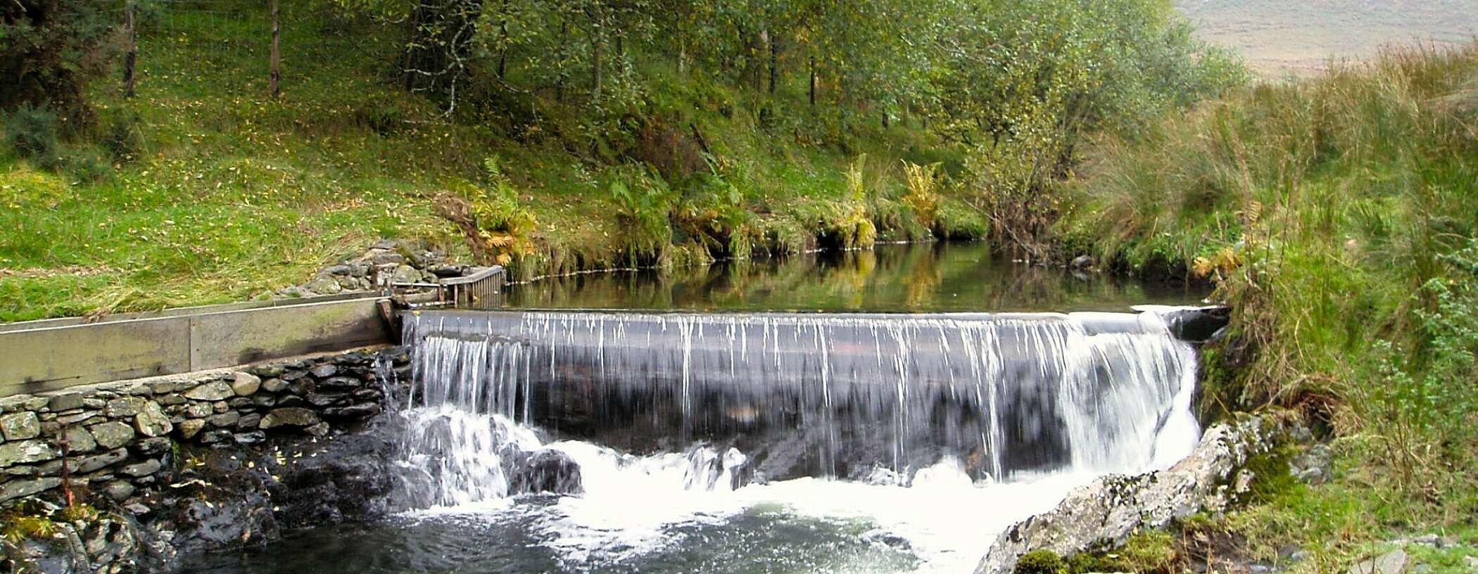
When I think of rivers, one of the first words that comes to mind is flow. But, the reality is that the flow of many rivers has been physically modified. Barriers such as dams, weirs, or culverts alter the path of water downstream, but also block natural journeys such as the migration of species. Salmon swimming upstream in search of spawning grounds often contend with concrete structures that stand surprisingly stubborn in our rivers, even after their original purpose has passed.
Not all barriers are bad. Nature creates barriers through fallen trees and vegetation; beavers build dams which slow the flow. In fact, many nature-based solutions aim to emulate the natural process of woody blockages in streams to slow the rush of flood water downstream. Many of these are leaky and create diverse habitats that wildlife can coexist with.
Barrier removal can be a complicated issue, says Dr Josh Jones, Senior Technical Analyst at The Rivers Trust.
“Barrier removal is beneficial for species and habitats, but it can also damage infrastructure such as sewage pipes and roads. Plus, many weirs have protected status due to cultural or historical importance.”

Dr Josh Jones
Senior Technical Analyst at The Rivers Trust
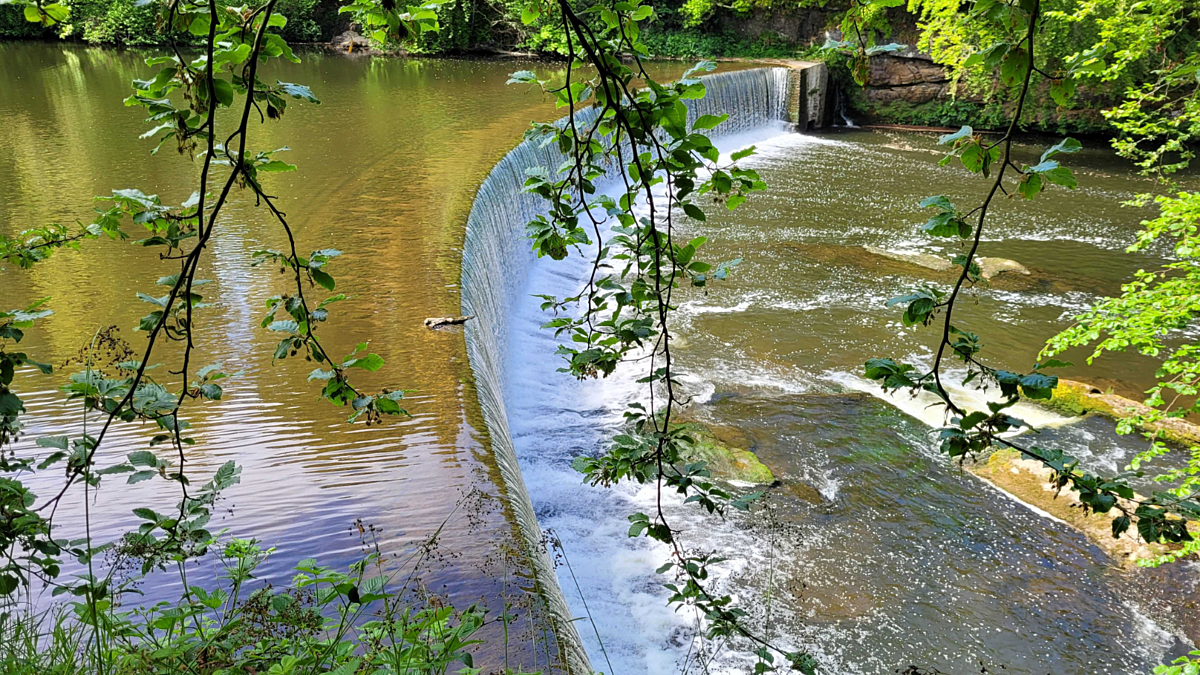
It’s important that we collect data on river barriers because this information helps us, and our Member Trusts, to prioritise which structures need addressing. For example, some barriers cannot be removed, but they may be suitable for us to install an eel or fish pass over or around. We have created an accessible map of river barriers in England, but it’s not perfect – gaps in our knowledge remain, and we know the least about the smaller tributaries. Studies estimate that there is one barrier for every 1km of river or stream, and that there could be double the number of barriers present than are mapped in databases.
You can help fill gaps: The River Obstacles App is a citizen science project that enables anyone to send in photos and details of river obstacles that they come across.